Dyrafjellet
Mountain in Rogaland · 484 m
The hike up Dyrafjellet
The route starts at the nearest registered starting point — recommended parking for the shortest hike to the top.
Weather forecast
Next 10 daysPhotos
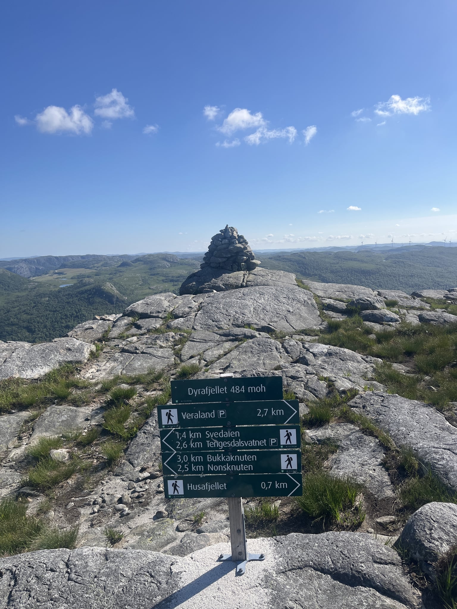
Parking and starting point
Check signage and any parking fees on site.
More peaks nearby
Frequently asked questions
How high is Dyrafjellet?
Dyrafjellet is 484 m above sea level and lies in Rogaland, Norway. Its prominence is 308 m — how far the summit rises above the surrounding terrain.
How long is the hike up Dyrafjellet?
From the nearest registered starting point it is about 2.5 km one way with 231 m of ascent. Expect around 1 h 31 min round trip at a normal hiking pace.
Where do you park for Dyrafjellet?
The nearest parking is the parking area northwest of the peak — 2.5 km on foot · ↑ 231 m · about 1 h 31 min round trip. Alternative: Tengesdalsvatnet (east of the peak) (about 2.5 km to the summit). In the Conquer app you get driving directions to the trailhead and a hiking route to the summit.
Can I log Dyrafjellet in Conquer?
Yes — Dyrafjellet is one of 34,540 peaks in Norway in Conquer. On the summit, open the app and tap to log the conquest — GPS verifies you're really there. The peak has been conquered once so far.
Conquer Dyrafjellet in the app
Check in on the summit, verified by GPS. Collect peaks across Norway, build streaks and level up together with your friends.
Download on theApp StoreFree to download